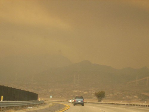
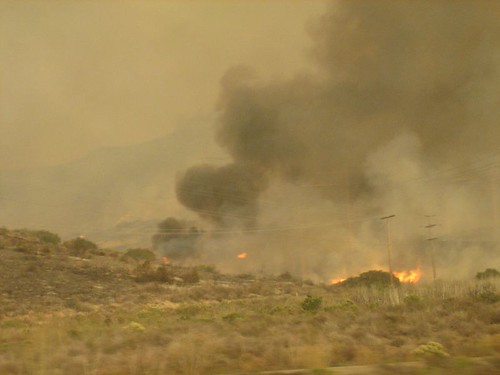
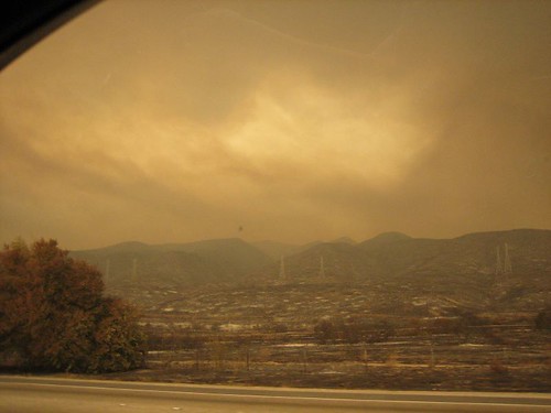
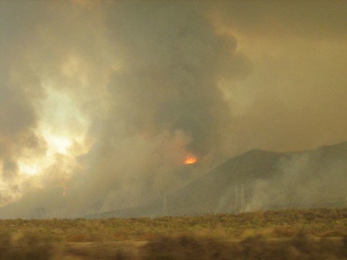
These are some pictures I snapped from the car as we went north on Wednesday. It was mid afternoon. These are what I think parts of the Horno fire along Camp Pendleton and Oceanside. There were even flames right across the freeway from the San Onofre nuclear power plant (it probably wouldn't be good to have that catch on fire or burn power line poles.. so there was a lonely firetruck guarding the area) and right behind the inland border checkpoint. There was scorched land all the way up to the asphalt in many places. But those weren't places next to homes. It looked like Mars or an apocalypse outside.
I hope this will turn out ok. Thank you to everyone who's helping out.
http://www.fire.ca.gov/ http://www.kpbs.org/news/fires
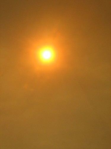
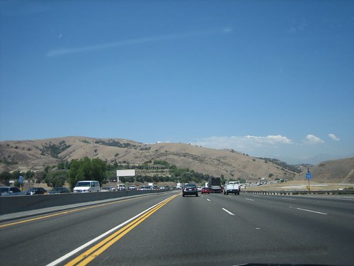
this is near the same area past San Onofre on a drive up mid-august.